
8·
4 months agosend good links for japanese jazz? I only really know uyama hiroto and honestly mostly through the freeform jazz album
send good links for japanese jazz? I only really know uyama hiroto and honestly mostly through the freeform jazz album
Maintenance Phase is good and I recommend it. I’ll admit it’s not in my regular rotation of podcasts, but I like it a lot :)

Definitely any indoor public space, I’ll ask friends if I’m going to theirs, and outside it depends.

The main thing for me is how libs nitpick and fight into fake ideas that they think are a ‘progressive middle ground’ which are just extremely evil and unserious. I distinctly remember a lib explaining an elaborate plan of how they would have NATO build a giant wall to enforce a two-state-solution and I just kinda started losing it and showing them pictures of the west bank barrier on my phone. They kept insisting that if NATO ran the wall it would stop israel from expanding.
I think the performative caring about anything gets undercut by how fickle and useless libs are as allies. Maybe a year or two ago I’d say that libs agreeing with the left with trump in office would be a silver lining, but honestly they’re just kinda useless. It seems harder to persuade libs than it is to persuade people entirely disconnected from politics even if they get the performative anti-trump benefit. Idk maybe I’m just in a doomer mood.
Mr. President, sir, let me first say thank you for your commitment to the American people… Your administration has not yet released a statement regarding the new Esperanza Spalding album, Milton + esperanza, should such a statement be expected in the coming weeks? Taxpayers were concerned to find tracks from the album absent from Former President Obama’s 2024 summer playlist.
TANKIE!
Their corrupt state handouts
Our public-private partnerships
basically the military took fewer pictures and worse pictures.
So, scientists have observed Earth’s nightlights for more than four decades, first with astronaut photography and military satellites. Since the 1960s, the U.S. Air Force has operated the Defense Meteorological Satellite Program (DMSP), a series of 18 polar-orbiting satellites that observe clouds and other weather variables in key wavelengths of infrared and visible light. Starting in 1972, the DMSP satellites included the Operational Linescan System (OLS), which gives weather forecasters some ability to see in the dark.
While DMSP has been a source of nighttime images for decades, until fairly recently the data were classified, which meant that only a few civilian scientists could conveniently gain access to study the data. The atmospheric science community was eager to have a more accessible night-vision tool to better understand weather and climate patterns and phenomena. Finally, in 2011, a new source of unclassified satellite images of Earth at night became available—one that improved upon the capabilities of OLS. The new low-light sensor was called the Visible Infrared Imaging Radiometer Suite (VIIRS), and was launched in October 2011 onboard the Suomi National Polar-orbiting Partnership (NPP) satellite—a partnership between NASA, the National Oceanic and Atmospheric Administration (NOAA), and the U.S. Department of Defense
– Earth at Night

This reminds me how “military-grade” tends to indicate the lowest possible quality

Terrifying and irrational state enemies are evil-y mustering their forces… Anyway, that’s why the highest levels of our government secretly formed a plan to literally nuke their countries.
Perfect framing, thank you
Mallory Stewart, the assistant secretary for arms control, deterrence and stability at the State Department, said in an interview that the Chinese government is “actively preventing us from having conversations about the risks.” Instead, she said, Beijing “seems to be taking a page out of Russia’s playbook that, until we address tensions and challenges in our bilateral relationship, they will choose not to continue our arms control, risk reduction, and nonproliferation conversations.”
Gee, no clue why they wouldn’t play ball.
deeply unserious
The balancing act of capitulating on the little things so that they can achieve some important thing breaks down with the realization that the important thing is “people in power ask for my opinion”.
I’m straining to imagine who this could possibly be the make-or-break issue for
thebartermyth mentioned! also no, I would stop talking to this person a long time ago
Yes, 3 billion and 6 billion respectively lol

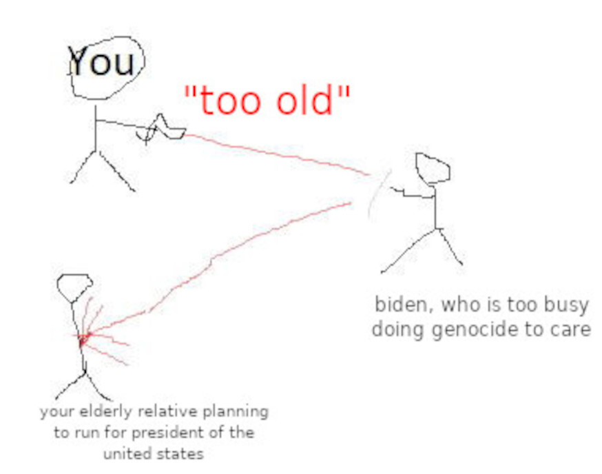
This is the image you went with?

staggeringly reckless thing to do